
UAV / Drone Survey
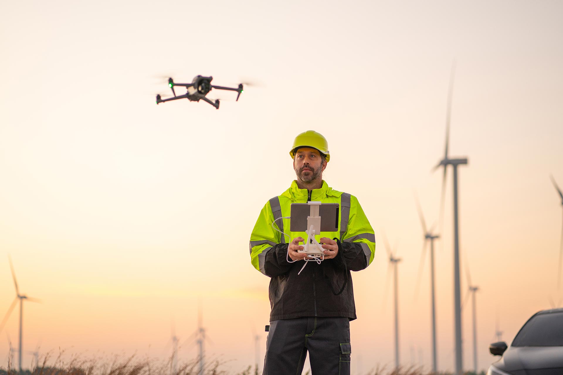
UAV / Drone Survey
Unmanned Aerial Vehicles (UAVs) are revolutionizing modern surveying. At Globe Surveys, we leverage drone technology combined with photogrammetry and AI processing to capture high-resolution aerial data, delivering actionable insights faster than traditional methods.
🔹 What We Do
Aerial Mapping & Orthomosaic Generation – Creating accurate, geo-referenced aerial maps.
3D Modeling & Digital Twin Creation – Generating realistic 3D replicas of terrain and structures.
Topographic & Contour Mapping – Quick, large-scale mapping of land features.
Construction Monitoring – Progress tracking with aerial images and volumetric analysis.
Agricultural Surveys – Crop health monitoring and irrigation planning.
🔹 Why It Matters
Drone surveys are faster, safer, and more cost-effective, especially in inaccessible or hazardous areas. They reduce field time while increasing coverage and accuracy.
🔹 Our Advantage
Licensed UAV pilots & certified equipment.
Ability to survey large and complex terrains quickly.
High-resolution imagery processed with advanced photogrammetry software.
👉 With Globe Surveys’ UAV solutions, see your project from every angle — faster, smarter, safer.
Let’s Get Your Land Project Started Right
Accurate data is the foundation of every successful project. Partner with a team you can trust for precise, efficient, and expert land surveying services.