
Bathymetry Survey
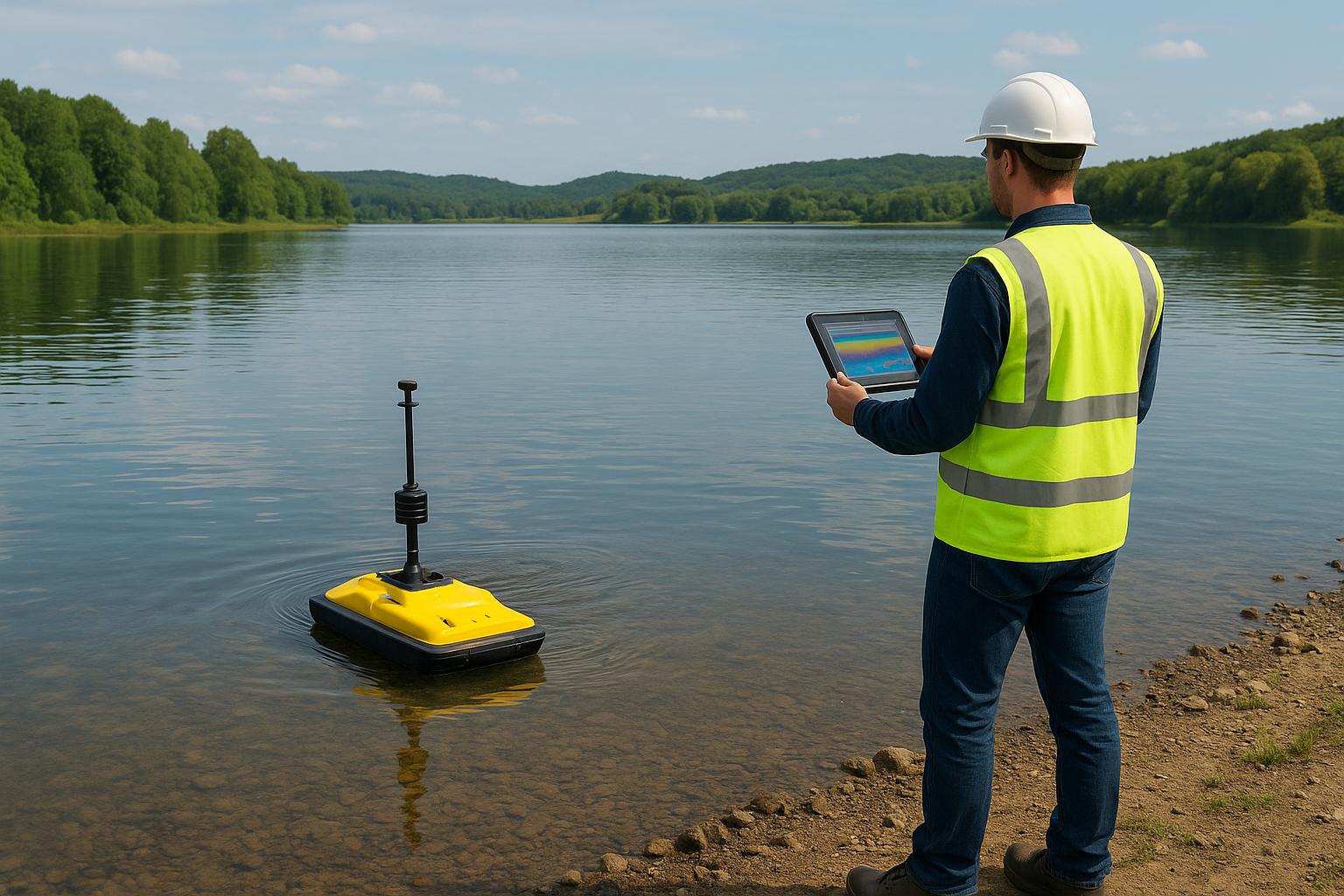
Bathymetry Survey
Bathymetric surveys measure and map underwater terrain and depth for safe navigation, construction, and environmental monitoring.
🔹 What We Do
Harbor & Port Surveys – Ensuring navigable depths for ships.
Reservoir & River Mapping – Monitoring sedimentation and water storage capacity.
Bridge & Dam Site Surveys – Understanding underwater foundation conditions.
Flood Risk & Coastal Studies – Supporting disaster preparedness and mitigation.
Marine Construction Surveys – Supporting dredging, offshore pipelines, and wind farms.
🔹 Why It Matters
Water bodies are constantly changing due to sedimentation, erosion, and tides. Bathymetric surveys provide the data needed for safe navigation and effective water resource management.
🔹 Our Advantage
Use of single-beam and multi-beam echo sounders.
Integration with LiDAR and GIS mapping for holistic insights.
Expertise in hydrographic and inland water surveys.
👉 Globe Surveys uncovers the hidden depths to power safe and sustainable water projects.
Let’s Get Your Land Project Started Right
Accurate data is the foundation of every successful project. Partner with a team you can trust for precise, efficient, and expert land surveying services.