
About us
Home / About us
About Globe Surveys
Mapping Land with Purpose and Precision
Every great project begins with a strong foundation — and at Globe Surveys, that foundation is built on accuracy, trust, and innovation.
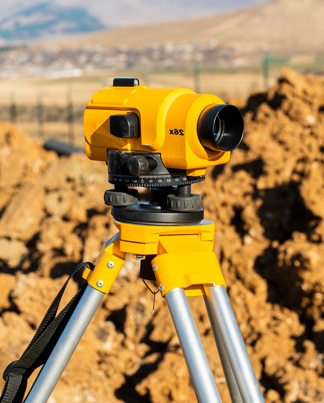
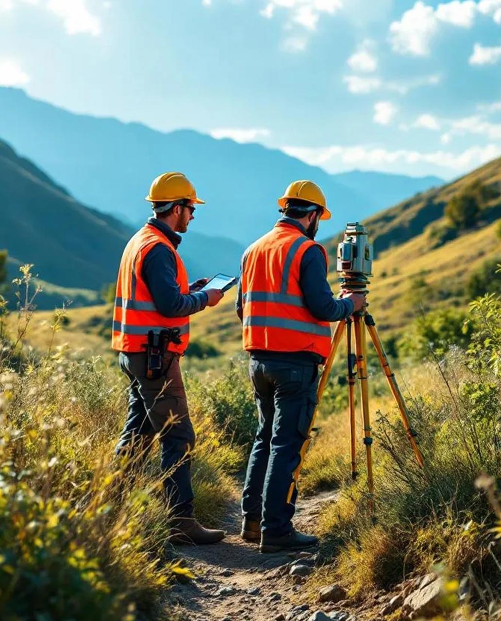
What started as a small team of dedicated survey professionals with expertise in land and boundary surveys has today grown into a full-fledged surveying and geospatial solutions company. From early projects involving traditional instruments, we have continuously embraced new-age technologies such as DGPS, Total Station, UAVs (drones), LiDAR, and GIS platforms to meet the evolving demands of industries.
Over the years, our journey has taken us from marking property boundaries and layouts to delivering advanced solutions like 3D modelling, digital twins, aerial mapping, and remote sensing analysis. Each step has been driven by our passion to provide reliable data, smarter insights, and greater value to our clients.
Today, Globe Surveys stands as a trusted partner for real estate developers, infrastructure companies, government agencies, and urban planners — supporting projects that range from land development and road alignment to smart city planning and environmental monitoring.
At Globe Surveys, our vision is to be recognized as a global leader in land surveying, mapping, and geospatial intelligence, setting new benchmarks for accuracy, innovation, and reliability. We aim to transform the way land and infrastructure projects are planned, designed, and executed by integrating state-of-the-art technologies like drones, LiDAR, and GIS with expert human insight.
We envision a future where every development project is guided by precise data, reducing risks, optimising resources, and promoting sustainable growth. By continuously evolving with emerging technologies, we strive to support smart cities, resilient infrastructure, and responsible land use that benefit both present and future generations.
Our mission is to deliver accurate, dependable, and intelligent surveying and mapping solutions that empower clients to plan and build with confidence. Every project we undertake is guided by four core principles:
Precision First – We use advanced instruments and geospatial technologies to ensure data accuracy that meets the highest industry standards.
Innovation at Work – By embracing UAVs, LiDAR, digital twins, and GIS platforms, we bring modern solutions that enhance efficiency and decision-making.
Client-Centric Approach – We partner closely with our clients, tailoring solutions that align with their unique project requirements and goals.
Sustainability & Integrity – We are committed to responsible practices, transparency, and ethical standards, ensuring our work contributes positively to communities and the environment.
Let’s Get Your Land Project Started Right
Accurate data is the foundation of every successful project. Partner with a team you can trust for precise, efficient, and expert land surveying services.