
Instruments
Home / Instruments
Our Instruments
Our Instruments & Technology
At Globe Surveys, we believe precision begins with the right tools. That’s why we invest in state-of-the-art surveying and mapping instruments that ensure accuracy, efficiency, and reliability across every project.

📐 DGPS (Differential Global Positioning System)
Delivers high-accuracy positioning for boundary fixing, control points, and geospatial data collection.
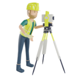
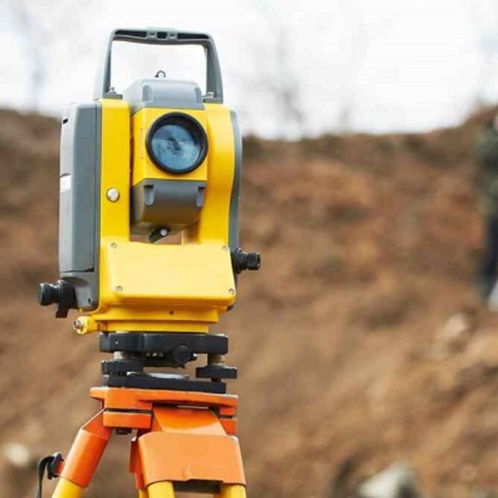
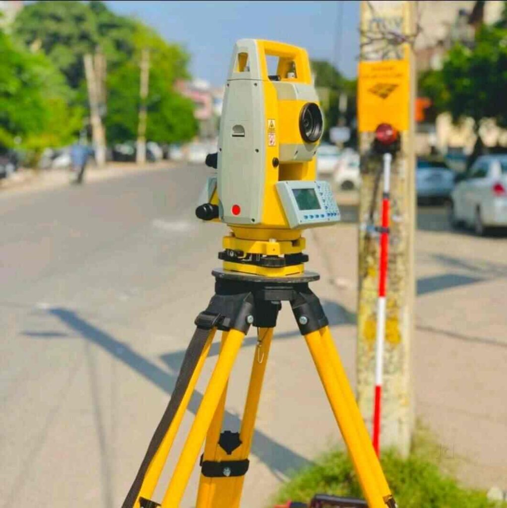
🎯 Total Station
A versatile instrument for topographic surveys, layout marking, and alignment, combining electronic distance measurement with angular precision.
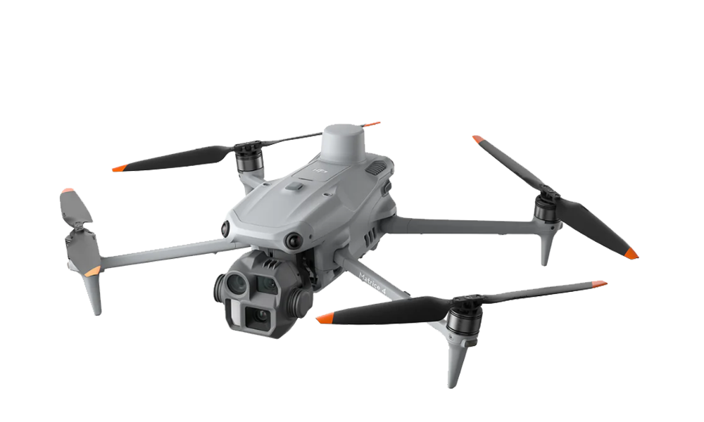
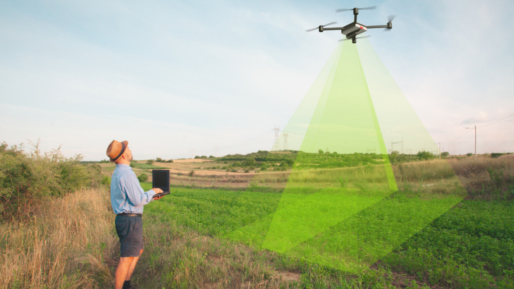
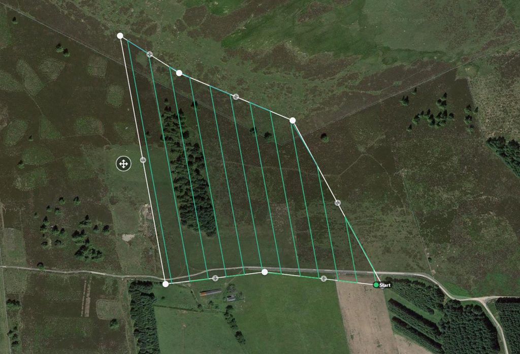
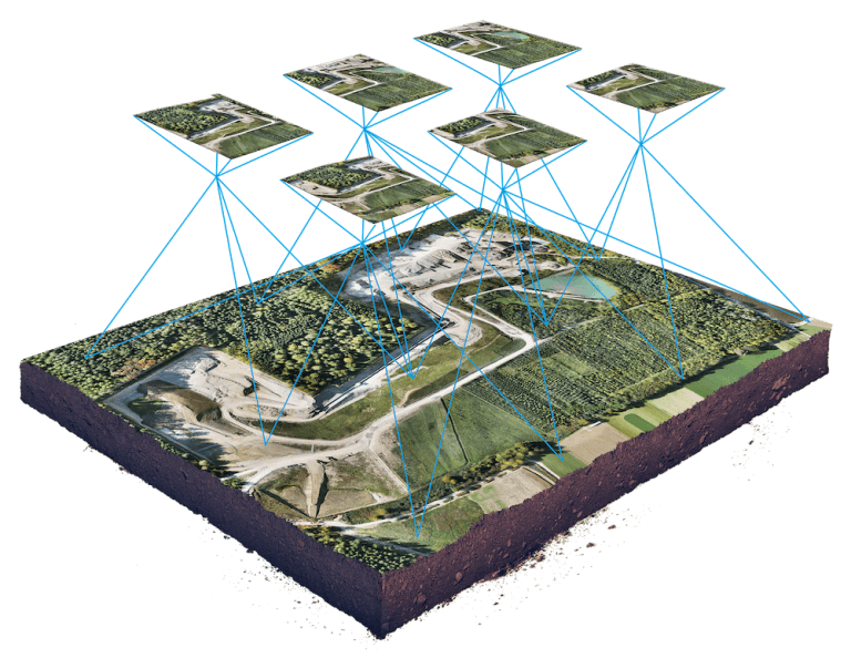
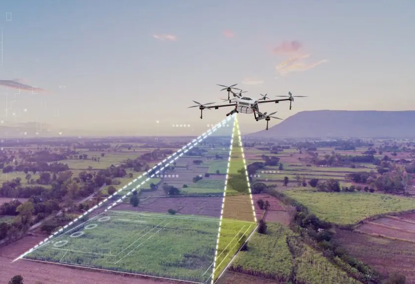
🛰️ Drones (UAVs)
Enable fast, large-area aerial mapping, capturing high-resolution imagery for orthomosaics, 3D models, and digital twins.
🌐 LiDAR (Light Detection & Ranging)
Provides detailed terrain and surface data, ideal for DEM/DTM generation, infrastructure planning, and environmental monitoring.
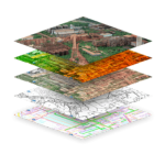
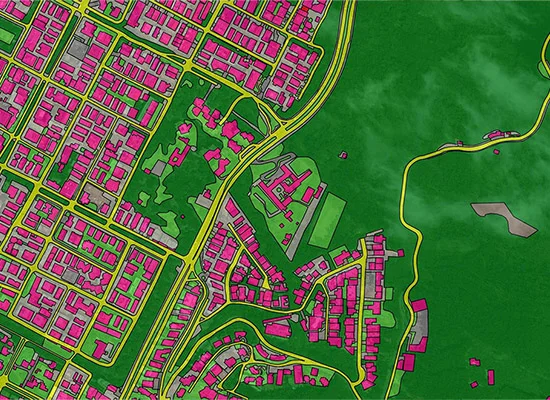
🖥️ GIS & Remote Sensing Platforms
Transform raw survey data into actionable spatial intelligence, supporting urban planning, land use analysis, and decision-making.

Let’s Get Your Land Project Started Right
Accurate data is the foundation of every successful project. Partner with a team you can trust for precise, efficient, and expert land surveying services.