
Aerial LiDAR Survey
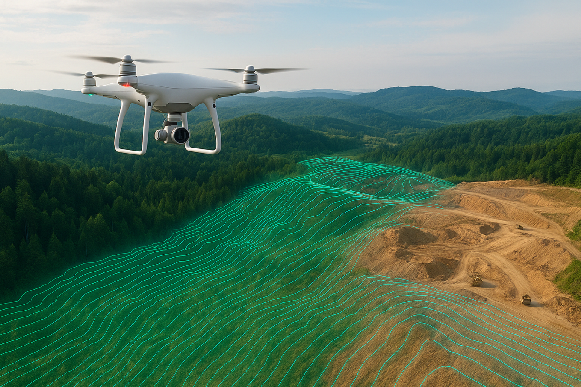
Aerial LiDAR Survey
LiDAR (Light Detection and Ranging) is one of the most advanced geospatial technologies for mapping terrain and structures with high precision. Using aerial LiDAR mounted on UAVs or aircraft, we capture millions of data points to generate high-resolution Digital Elevation Models (DEMs) and Digital Terrain Models (DTMs).
🔹 What We Do
Topographic Mapping – High-accuracy elevation and surface modeling.
Vegetation & Canopy Penetration – Capturing ground levels even under dense forest cover.
Flood Risk & Hydrology Studies – Watershed, floodplain, and drainage mapping.
Urban Planning & Smart Cities – Detailed city-scale mapping for infrastructure development.
Mining & Quarry Monitoring – Volume calculations and environmental monitoring.
🔹 Why It Matters
LiDAR surveys are far more detailed than traditional aerial photography, providing accurate elevation and terrain data for engineering, environmental, and urban projects.
🔹 Our Advantage
High-density LiDAR sensors with centimeter accuracy.
Expertise in DEM/DTM generation and contour mapping.
Ability to integrate LiDAR outputs with GIS, CAD, and BIM systems.
👉 From forests to cities, Globe Surveys uses LiDAR to bring every detail into sharp focus.
Let’s Get Your Land Project Started Right
Accurate data is the foundation of every successful project. Partner with a team you can trust for precise, efficient, and expert land surveying services.