
3D LiDAR Scanning (Terrestrial & SLAM)
3D LiDAR Scanning (Terrestrial & SLAM)
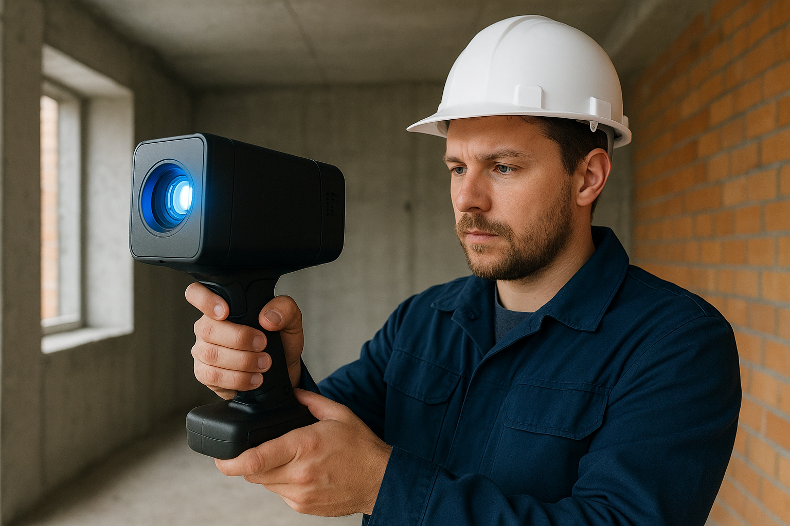
3D LiDAR scanning captures environments in incredible detail, creating dense point clouds that can be processed into 3D models. At Globe Surveys, we use both terrestrial (static) and SLAM (mobile) LiDAR scanners, making it possible to map both outdoor and indoor spaces accurately.
🔹 What We Do
Industrial Plant Surveys – Mapping piping, machinery, and structures.
As-Built Documentation – Accurate 3D data for construction verification.
Underground & Indoor Scanning (SLAM) – Mapping tunnels, caves, and facilities without GPS.
Heritage Preservation – Digital archiving of monuments and archaeological sites.
Deformation Monitoring – Identifying structural shifts in bridges, dams, and towers.
🔹 Why It Matters
3D LiDAR provides a digital twin of reality, enabling better design, monitoring, and planning. It saves time and reduces errors in complex engineering projects.
🔹 Our Advantage
Combination of static and mobile LiDAR for maximum flexibility.
Expertise in point cloud processing and 3D model generation.
Integration with BIM (Building Information Modelling) workflows.
👉 Globe Surveys turns the physical world into precise 3D digital models for smarter decisions.
Let’s Get Your Land Project Started Right
Accurate data is the foundation of every successful project. Partner with a team you can trust for precise, efficient, and expert land surveying services.